Architectural Visualisation
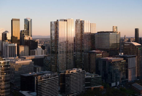
Distinguish your property with views from all heights. Showcase actual perspectives from any level or height with incredible imagery captured at optimal times of day.
Level Views
Drones are continuing to revolutionise construction, engineering, and architecture industries – at all stages of the process. UAV technology enable experts across these industries to inspect, understand and document sites and builds. Our professional drone operators capture site detail with accuracy and precision. Create topographic models of any project or building site and generate aerial renderings to ensure you and your project collaborators are equipped with all the information you need.
In the architecture world, utilise drone technology to create 3D visual renderings to provide greater site and location context and ensure that all design decisions are supported with a comprehensive suite of information.

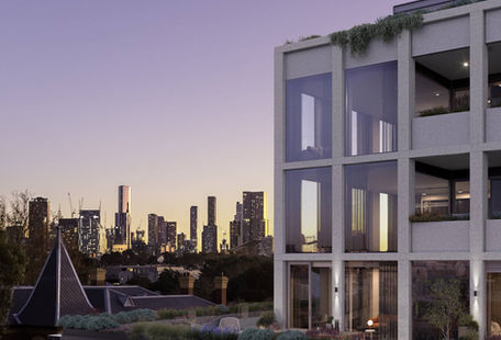
Completed Renders
Before and After

360 Level Views
Our level view image services are quality. With adaptive planning ability, we try our best to give our clients images in the weather and light conditions required. Often with sun angles, cloud cover and time of day being major factors, we are dedicated to achieving the desired results.
Realistic 3D models and realistic views can also be a distinctive feature in any marketing campaign to sell buildings, apartments, and units. Using the latest high-tech drones, capture these aerial renderings, virtual reality (VR) or 360° views can show your customers everything they need to know. These finished products work seamlessly on social media and give you something that elevates you, your business, and your buildings above the competition.


